Big Gee in Action


| Album: photos:day16 | |||
|
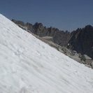
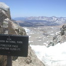
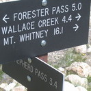
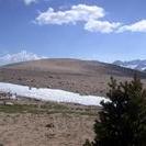
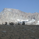
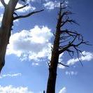
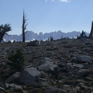
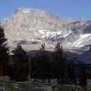
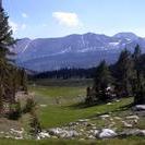
11,000 ft - Crabtree 28 June 2003 Day 16 Miles: 17.5 / 206.6 Another bonafide thruhiker day. I went past my planned stopping point at Wallace Creek to stop near the Crabtree Meadows Ranger Station. 17.5 miles today means only 8.5 to the top of Mt. Whitney tomorrow. Low miles, but it is almost 4,000 feet higher than here. It is still going to take some time to get up there. Just like it took some time getting over Forrester Pass this morning. It was a little after noon before I gained the pass and crossed from Kings Canyon National Park into Sequoia National Park. I saw many thruhikers camped or coming down from the pass including 8 middle aged JMT thruhikers from Japan. They were feeling the burn. :) I did not see anyone on the Sequoia side at all. This section of trail feels more open. It is a nice change. A high crest of mountains rises to the west, but immediately surrounding me the mountains are spaced further apart. I am not boxed into steep sided canyons and valleys here. It feels like I am hiking out of the Sierras. It feels like my trip is ending. I had some great views after the easy ford at Tyndall Creek and ascending around Tawny Point. I was on the sandy, rounded shoulder of the mountain at timberline. A stand of krumoltz (sp?) off to my left and utter desolation to my right. Besides the occasional blasted tree trunk there was only sand and stone. Farther beyond other mountains sat in the distance. The range to my west reminded me a little of the Pyrenees. Across Bighorn Plateau I had my first look at Mt. Whitney partially hidden behind Mt. Hale, a 13er. Descending over a lateral moraine from a long departed glacier, I was harried by mosquitoes the whole way. I don't understand what they found so appealing about me. After all I am shellacked in 10 days worth of poison. But they still swarm, and I add more 95% DEET. Any caught in the spray fall off me to the ground in convulsions. Ahh, small pleasures. After fording Wallace Creek I decided that tiem enough remained to round Mt. Young and reach Crabtree. That is just what I did. Up, down, up, and back down. Mostly the trail passed through woods and glacially deposited piles of rock. I bid farewell to the Pacific Crest Trail when the John Muir Trail turned east towards Whitney. I will thruhike the PCT sometime in the future. So here I am camped at Crabtree doing my journal and listening to the rush of water. I saw two young bucks feeding down there when I went to collect water. I have seen lots of wildlife this trip. |
|||
| Available Images: | |||
 |
 |
 |
 |
| dscn4700 jpg | dscn4701 jpg | dscn4702 jpg | dscn4703 jpg |
 |
 |
 |
 |
| dscn4704 jpg | dscn4706 jpg | dscn4707 jpg | dscn4708 jpg |
 |
 |
||
| dscn4710 jpg | dscn4711 jpg | ||
|
Notice: Undefined index: PATH_INFO in /home/restlessadva/public_html/include/stdBigG.php on line 910 Previous Day [Today] Next Day
|
|||