Big Gee in Action


| Album: West-Highland-Way:Day6-Kinlochleven | ||||||||||
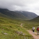
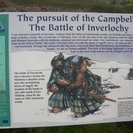
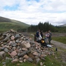
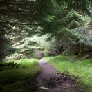
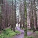
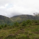
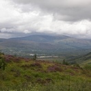
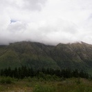
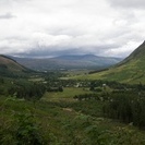
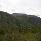
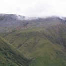
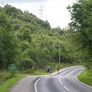
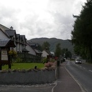
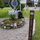
This morning didn't look very good. It was drizzling off and on and didn't appear to be getting any better. One good thing was the excellent co-op food store that provided awesome groceries and possibly the best breakfast yet on the trail: 2 cheese breads and 2 scotch eggs (hard boiled egg wrapped in cooked sausage and breaded). Delicious! There was a thousand foot ascent out of the valley after leaving the town and the midges were a real pain. It was impossible to stop to take a breather, or a drink, or a photo without the swarm landing to feast. The only relief was to continue hiking. We all carried on nearly nonstop for about seven miles through mostly open valley before we found our first relatively midge-free zone. It was near a historic marker and most of us took the time to rest and eat. The day was already half over for most people. My plan was not to finish today like everyone else. I was hiking to nearly the end then taking a mountain track up to a high camp on Ben Nevis. That approach would cut summit day in half for the mountain and I could hike out after. At least that was the plan. The weather had to cooperate. There isn't too much more to write about the hike. The trail wound through some old conifer plantations, timbered areas, and former grazing land before popping out above Fort William with Ben Nevis standing tall on the other side of the valley. The top of the mountain was in the clouds but it still looked big. It was going to be a long slog up the mountainside to my camp. Down, down, down. I decided to follow the WHW all the way to the Glen Nevis visitor center where I could hopefully get a reliable forecast from the people there. I had heard everything from sunny to rainy from southbound hikers. The main climbers trail begins from the center too. It was all coming together. I arrived just as two guys were locking up. My plans came crashing down when they told me the forecast. Rain and clouds. I wouldn't do the Tourist Route (that's the name of the walk up route) under those conditions and I had something a little more spicy planned. I needed to formulate a Plan B quick. I decided to finish the trail today since it was only another mile or so to the end. Then I could clean up and recuperate in town for a day or two. If the weather changes then I would still have my chance at the summit. So I hiked into Fort William today and finished the West Highland Way. The path sure finished in an unspectacular way along a road that ended at the marker in town. Of course it didn't start off much different either. There was nobody around to snap my picture so I took one of my trusty pack and poles against the sign. Another trail finished! What will be next? |
||||||||||
| Available Images: | ||||||||||
 |
 |
 |
 |
|||||||
| 100 4658 | 100 4659 | 100 4660 | 100 4661 | |||||||
 |
 |
 |
 |
|||||||
| 100 4663 | 100 4665 | 100 4666 | 100 4667 | |||||||
 |
 |
 |
 |
|||||||
| 100 4668 | 100 4669 | 100 4670 | 100 4671 | |||||||
 |
 |
 |
 |
|||||||
| 100 4673 | 100 4674 | 100 4675 | 100 4676 | |||||||
 |
 |
 |
 |
|||||||
| 100 4677 | 100 4679 | 100 4680 | 100 4681 | |||||||
 |
 |
 |
 |
|||||||
| 100 4682 | 100 4683 | 100 4684 | 100 4686 | |||||||
 |
 |
 |
 |
|||||||
| 100 4687 | 100 4688 | 100 4689 | 100 4690 | |||||||