Big Gee in Action


| Album: Hadrians-Wall-Path:Day2-Heddon on the Wall | ||||||||||
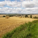
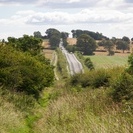
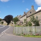
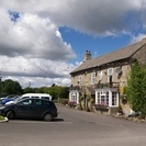
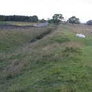
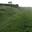
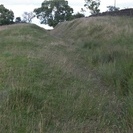
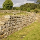
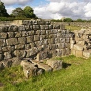
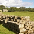
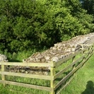
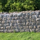
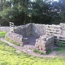
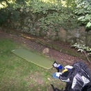
This morning hoped out of bed to check the net access. They have a PC here for guests and I plugged the ethernet cable into the Mac and was online. It wasn't the greatest connection but I was able to put yesterday's journal and photos online. That's nice. Then I packed up and backtracked to the Three Tuns where I left the Path. It was a little after 10. Along this stretch what was left of Hadrian's Wall after the stone was taken for various buildings has been used as the foundation for a military road from the 1700's. Then later this road was upgraded to blacktop and renamed the B6528. To the north parts of the north ditch remain in sections. To the south the former Roman Military Way is invisible, however, the vallum or U ditch with a flanking mound on either side is sometimes apparent. Nowadays this is well developed farm country with a lot of sheep or cattle grazing. The field fences like the stone cottages are probably all mostly built of wall stone. Besides the farms every now and then I would pass a small village of tidy stone homes or the occasional lone pub. Sadly the pub that I was counting on for some food and a water refill had already closed by the time I arrived. I had some cheese and pita bread from my pack but it wasn't exactly what I had hoped to eat. Onward! The path runs by some very well preserved remains of both the vallum and the north ditch. Even after 1800 years it was still impressive. What must it have looked like new? How many pictures of a ditch can I take before boring you all to death? The remains weren't just holes in the ground though. Several spots had decent sections of "consolodated wall". This is roman wall that has been restored with mortar. At most it reached a height of 6 courses which is far less than the original 15 feet. Still it was nice to finally see what I came to hike beside. Overall however I expected more wall today. There was really very little. I reached my first wall turret today. It was connected to a short stretch of wall and the north ditch was quite large (possibly augmented by erosion?). I decided to stealth camp nearby. Just a bit further along was a fort and museum that I wanted to tour in the morning and I wasn't sure I'd find another place closer. I could have used some water but I had a few swallows of scotch left. Even though I wasn't supposed to do it, sleeping right next to the wall would be really cool. |
||||||||||
| Available Images: | ||||||||||
 |
 |
 |
 |
|||||||
| 100 3969 | 100 3971 | 100 3977 | 100 3979 | |||||||
 |
 |
 |
 |
|||||||
| 100 3980 | 100 3981 | 100 3982 | 100 3984 | |||||||
 |
 |
 |
 |
|||||||
| 100 3989 | 100 3995 | 100 4001 | 100 4004 | |||||||
 |
 |
 |
 |
|||||||
| 100 4015 | 100 4018 | 100 4020 | 100 4021 | |||||||
 |
 |
 |
 |
|||||||
| 100 4023 | 100 4025 | 100 4026 | 100 4027 | |||||||
 |
 |
 |
 |
|||||||
| 100 4031 | 100 4032 | 100 4033 | 100 4035 | |||||||
 |
 |
 |
 |
|||||||
| 100 4036 | 100 4037 | 100 4038 | 100 4040 | |||||||