Big Gee in Action


| Album: journal:20110802 | ||||||||||
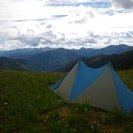
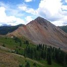
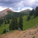
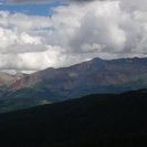
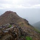
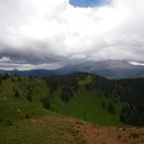
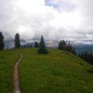
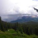
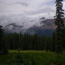
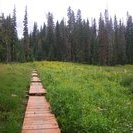
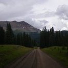
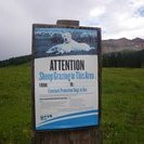
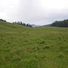
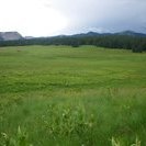
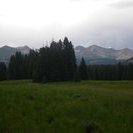
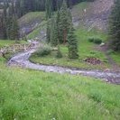
Wow, did I sleep good last night but it meant a late start this morning. It was closer to 11 than 10 and the sky was full of clouds - not good. I still had a fair bit of above timberline travel. The Calico Trail bypassed Calico Peak and Johnny Bull Mountain summits but went straight up the curiously named Sockrider Peak (12,308 ft). That's where my luck ran out and I was overtaken by a wall of rain. I had hoped to get over the summit before it hit me. Fortunately there wasn't any thunder or lightning and the rain was light. Still it was cold. Hiking down from Sockrider was fun and interesting because the ridge was narrow and rocky. Still I was glad to be down at the next saddle quickly. There the thunder started but it was easy terrain angling downhill through sporadic trees so I wasn't too worried. I wasn't even in the rain anymore. I was having some minor foot issues though so when I found a nice dry spot in the trees I took a long break. Too long. I needed to do more miles today. Oh well. From there it was another couple miles to Eagle Creek Trailhead which took me to Dunton Rd and the Groundhog Stock Driveway. That wasn't my original plan but all this consistant bad weather and seeing El Diente and Gladstone in a ferocious storm all day changed my mind about trying to climb them. I'll come back. The stock driveway was a really nice alternative through high meadows. I'm happy with my choice though I think the map isn't quite showing it accurately and it feels like I walked farther than what the map indicates. |
||||||||||
| Available Images: | ||||||||||
 |
 |
 |
 |
|||||||
| imgp5161 | imgp5162 | imgp5163 | imgp5164 | |||||||
 |
 |
 |
 |
|||||||
| imgp5165 | imgp5166 | imgp5167 | imgp5168 | |||||||
 |
 |
 |
 |
|||||||
| imgp5169 | imgp5170 | imgp5171 | imgp5172 | |||||||
 |
 |
 |
 |
|||||||
| imgp5173 | imgp5174 | imgp5175 | imgp5176 | |||||||
 |
 |
 |
||||||||
| imgp5177 | imgp5178 | imgp5179 | ||||||||