Big Gee in Action


| Album: journal:20110620 | ||||||||||
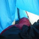
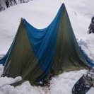
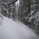
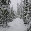
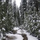
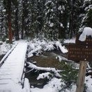
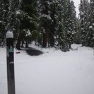
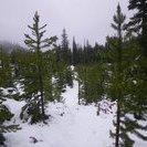
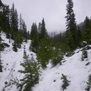
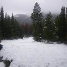
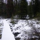
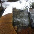
This entry is also being writen after the fact. Last night was interesting. It was the most awesome lightning and thunder display that I've ever been a party to. As I lay there is though how terrible that it had to be under these conditions - my tent only partially erected in this little area and ready to fall over at the slightest wind and I'm only staying under it on the sloped ground because I dragged a thin fallen tree over to shore up my left side. Every shake of the tent material sent a mini storm of condensation drips falling onto me. I'm surprised that I slept and flabbergasted that I slept well. I waited but the drizzle wasn't going to stop. So I re-reviewed the map and started again with several inches of fresh snow. The rain wouldn't stop all day. Surprisingly I quickly found spots that the other two people (word is that they are highly motivated military guys) had postholed through. I just bombed down the slope as best as I could through the insane drifts in the direction the CT should ultimately be heading. I even crossed a 100 ft section of it in one spot but it was useless to try and follow. To make a long story shorter I eventually got to the middle fork of the Swan River and even crossed it on the CT bridge. At this lower elevation there was only a couple inches of snow so I took the CT over to the north fork where it intersected a dirt road. It was 10 trail miles to the Breckenridge trail head but the next section of trail climbed above 11k ft and had west and north facing slopes so I could expect more of the same big drifts and routefinding exercises. So I decided to leave that 10 mile section until later this summer and hike out on the old CT which is to say Tiger Rd. My problem is time. My whole loop hike will take me almost to fall semester so I don't really have the time to gut it out in the snow. |
||||||||||
| Available Images: | ||||||||||
 |
 |
 |
 |
|||||||
| imgp4482 | imgp4483 | imgp4484 | imgp4485 | |||||||
 |
 |
 |
 |
|||||||
| imgp4486 | imgp4487 | imgp4488 | imgp4489 | |||||||
 |
 |
 |
 |
|||||||
| imgp4490 | imgp4491 | imgp4492 | imgp4493 | |||||||
 |
 |
 |
||||||||
| imgp4494 | imgp4495 | imgp4496 | ||||||||